KANSAS CITY, Mo. — A nasty line of storms that had Jackson, Lafayette, and Ray counties on edge overnight is finally losing its punch. The National Weather Service called off the severe thunderstorm warning at 2:30 a.m. on April 29, 2025, after the system churned its way out of the area. No more flashing skies or howling winds for now—just a damp, quiet morning for folks waking up.
The warning kicked in late Monday night when radar lit up with a storm packing gusts strong enough to snap tree limbs and the kind of lightning that makes you double-check your surge protectors. Meteorologists tracked it closely, noting the system’s path as it barreled through northwest Missouri. By 1:55 a.m., the worst had moved on, leaving behind some scattered showers but nothing worth keeping the alert active.
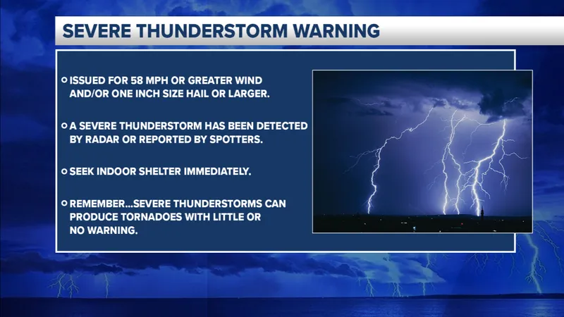
Lightning was the big concern here. The U.S. sees about 25 million strikes a year, and while most happen in summer, spring storms like this one can still deliver a wallop. On average, those bolts claim around 20 lives annually, so the NWS wasn’t taking chances with the warning. The all-clear came when Doppler showed the storm’s core had fizzled out beyond the warned counties.
No reports of major damage or injuries surfaced by early Tuesday, though local crews are still checking for downed lines or flooded low spots. Residents are left with a soggy start to the day and maybe a few extra coffee runs to shake off the late-night thunder.